Downloads for Trail
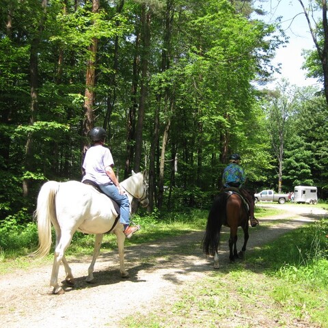
Pine Hill State Forest & South Valley State Forest has 24 miles of trails for equestrian use located near Onoville Marina.
Get the Pine Hills Trails Map.
Trails:
Trails around Pineapple Junction & above the power line are natural woods soil with a minimum elevation change. Most trails below the power line are hilly with natural woods soil & occasional rocks. Trails leading up to Rocky Top are natural woods soil & hilly, Rocky Top itself is rocky with a minimum elevation change.
Footing:
natural wood’s soil; shoes are recommended, due to some rocks.
Markings:
DEC trail disc markers are used on all trails in the system. There are wooden trail name signs & “you are here” letters that correspond to the trail map. There is occasional pink ribbon used to guide you.
Camping:
Free camping is allowed at Pineapple Junction Trailhead on Carr Corners Rd. There are 8 level, graveled sites for camper trailers. There are high line poles & a fire ring. There are also 4 camp sites at the Little Bone Trailhead off of Little Bone Rd. These are both carry-in carry-out sites & you need to bring all your own water. Please clean up your manure & hay & scatter it in the woods. If you plan to camp more than 72 hours, call the DEC Ranger for a free permit at (716) 699-6154.
Trailer Parking:
These areas have a day parking areas. Pineapple Junction Trailhead on Carr Corners Rd & Little Bone Trailhead on Little Bone Rd.
Directions:
Take I-86, exit 16; turn onto Main St. towards Randolph; take a right onto Larkin St. which is just over the first bridge on Main St. (Over Battle Creek); go to the end of that street and turn right onto Archer Hill Road; go to end of that road and then turn left onto Pine Hill Rd. At the top of the hill, Pine Hill Rd will take a sharp right and Pierce Run Rd will be to the left. Take Pierce Run Rd to enter into Pine Hill State land. Take the first left at Carr Corners Rd.; Pineapple Junction Parking area with a circular driveway is on left at the top of the hill.
